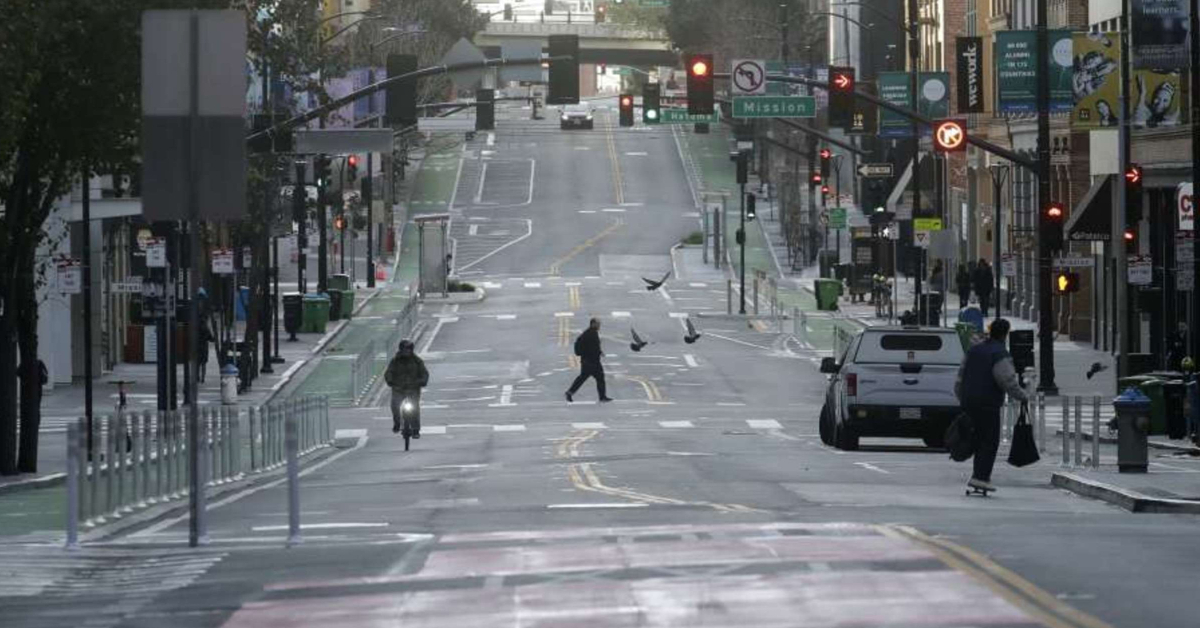
Want to know which California counties are evidently not doing a very good job of obeying the statewide shelter-in-place order that has been in effect for over a week now?
The data company Unacast, a firm that collects cell phone location data for private companies, created an interactive map that shows which counties in California and beyond are correctly "socially distancing" by staying at home.
Each county and state is graded on an A-F basis on the "change in average mobility," or the decline in distance traveled since quarantine measures were first put in place.
"To calculate the actual underlying social indexing score we combine tens of millions of anonymous mobile phones and their interactions with each other each day - and then extrapolate the results to the population level," Unacast writes in its methodology.
Continue Reading on San Francisco Gate


